interactive augmented models
We create tangible, dynamic and interactive 3D maps. A new way to explore and discover a territory in all its details and beauty.
Full Video


The world is alive and breathing
so should be maps
We create tangible, dynamic and interactive 3D maps. A new way to explore and discover a territory in all its details and beauty.
Full Video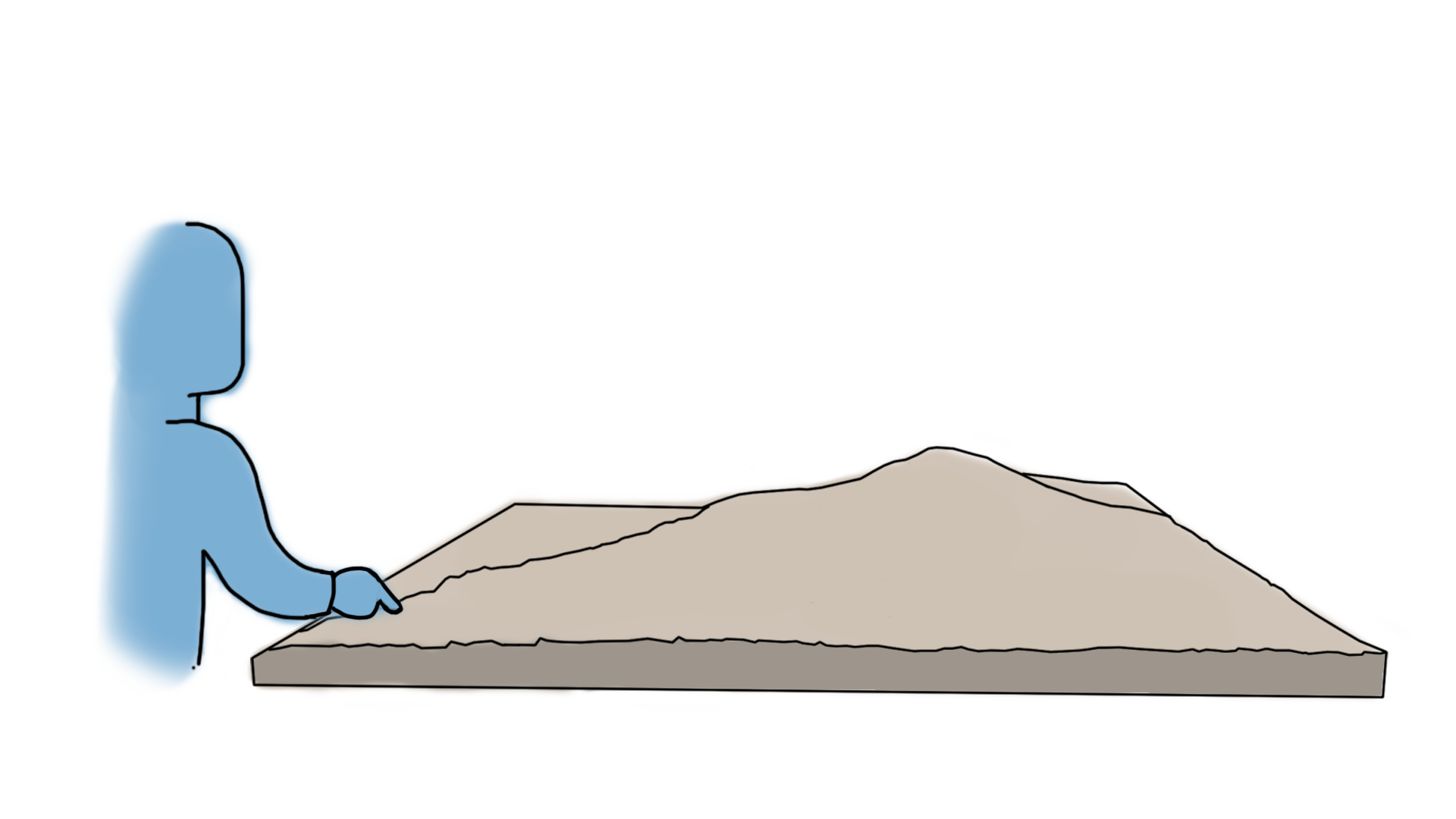
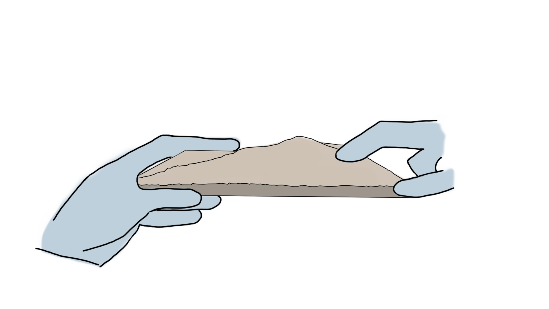
Unlike virtual reality or traditional augmented reality, a physical model can be touched and allow genuine 3D perception.
Our scale models are digitally created using geodesic quality data, resulting in increadibly accurate models. We also use digital fabrication techniques enabling the creation of different instances of a model, at different scales. The augmented content will stay the same at any scale.
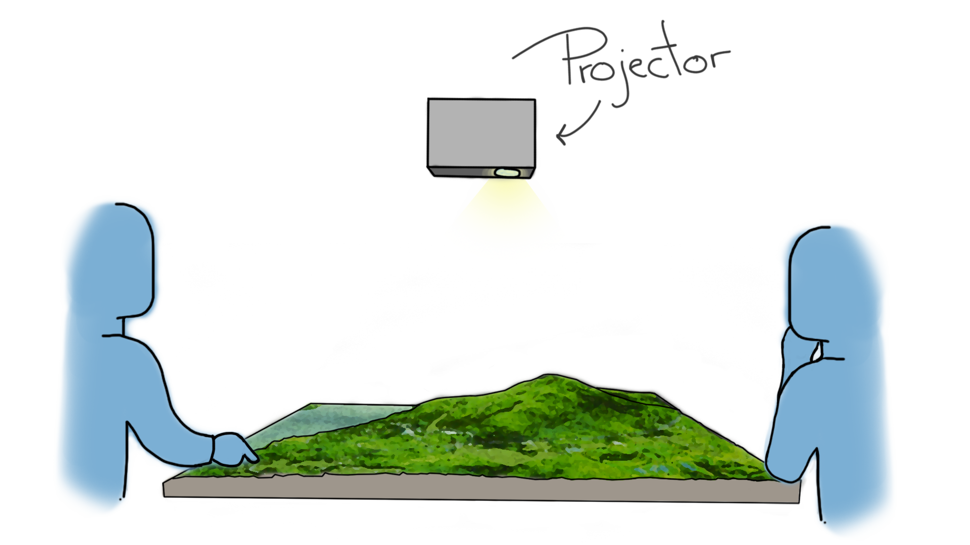
Spatial augmented reality uses projectors to overlay digital content on real objects, creating seamless experiences that brings people together. It does not require any glasses or headset.
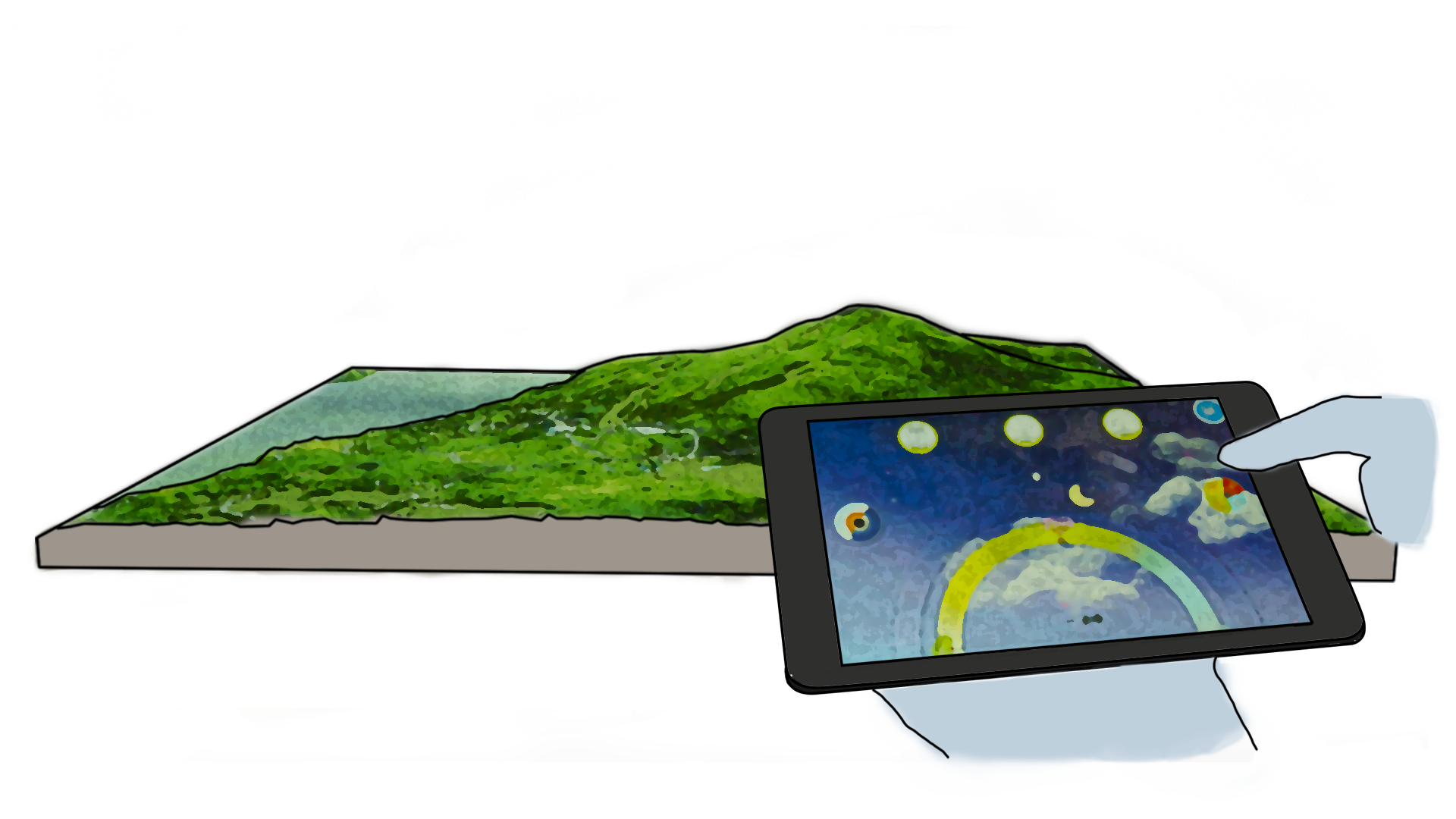
An augmented scale model is a tangible 3D geographic screen. We can therefore display animated content, interact with simulations (sun position, seasons) or toggle different geographical visualizations such as elevation maps, right of way or watersheds.
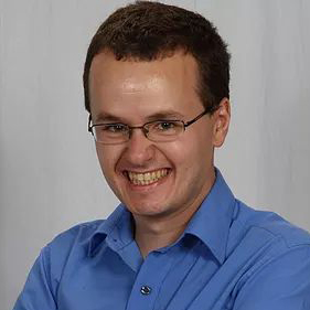 Guillaume Meunier, QLS
Surveyor by trade, he is passionate about everything related to territory, land and its representation. He strives to make complicated matters simple to understand and accessible.
 Renaud Gervais, PhD
Inventor and creative mind, he specializes in multimedia and mixed reality installations. He uses digital technologies as a medium to create joyful and meaningful experiences.
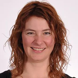 France Mercier, QLS
The master planner. Entrepreneur, surveyor and historian, she is as passionate about the territory as she is about clearly and beautifully representing it.
© 2018 Small Worlds – All rights reserved